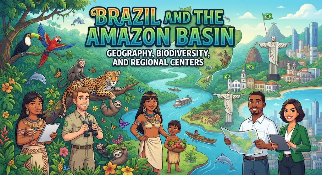
Dominating nearly half of the South American continent, the Federative Republic of Brazil is a colossal geographic entity. Spanning 8,515,767 square kilometers across three time zones, Brazil is the world’s fifth-largest nation by both total area and population. It shares terrestrial borders with every South American country except Chile and Ecuador. From the dense, equatorial rainforests of the Amazon Basin to the semi-arid Caatinga scrublands and the temperate rolling pampas of the south, Brazil’s physical geography has dictated its economic trajectory, agricultural prowess, and demographic distribution.
The Amazon River System: Hydrological Superpower
The Amazon Basin covers an astonishing 7 million square kilometers across northern South America, with approximately 60% of its expanse located within Brazilian sovereign territory. At its core flows the Amazon River (Rio Amazonas), the undisputed hydrological giant of the planet. While geographers debate whether the Nile or the Amazon is the longest river on Earth, there is no dispute regarding volume: the Amazon discharges more water than the next seven largest rivers combined.
At its mouth along the Atlantic Ocean in the state of Pará, the Amazon discharges an average of 209,000 cubic meters of fresh water per second into the ocean. This colossal freshwater plume dilutes oceanic salinity up to 160 kilometers offshore. The river system is sustained by over 1,100 major tributaries, twelve of which have larger discharges than the Mississippi River, including the Rio Negro, Madeira, Tapajós, and Xingu.
| Major Biome | Approx. % of Brazil | Dominant Vegetation & Climate | Primary Environmental Stresses |
|---|---|---|---|
| Amazonia | 49.3% | Equatorial dense rainforest; high humidity; year-round precipitation. | Cattle ranching, illegal logging, road corridors, mining. |
| Cerrado (Savanna) | 23.9% | Wooded savanna, twisted trees, deep acid soils, wet/dry seasons. | Large-scale mechanized soybean and corn cultivation. |
| Mata Atlântica | 13.0% | Coastal Atlantic rainforest, mountainous slopes, extreme endemism. | Severe fragmentation from historical urban expansion and sugar plantations. |
| Caatinga | 9.9% | Semi-arid xeric shrubland, thorny deciduous vegetation, drought cycles. | Desertification, overgrazing, chronic water scarcity. |
| Pantanal | 1.8% | World’s largest tropical wetland; flooded grasslands and savannas. | Upstream sedimentation, severe seasonal wildfires, cattle pasture. |
| Pampa | 2.1% | Temperate grasslands, undulating plains, mild oceanic climate. | Soil erosion, invasive grass species, monoculture farming. |
The Brazilian Biomes: Beyond the Rainforest
While the international imagination frequently equates Brazil exclusively with the Amazon rainforest, the nation is actually partitioned into six major ecological biomes, each exhibiting unique pedological and botanical properties.
1. The Cerrado: The Agricultural Heartland
Covering over two million square kilometers of the central Brazilian highlands, the Cerrado represents the most biologically diverse tropical savanna in the world. Characterized by deep, acidic, aluminum-rich soils and a pronounced dry season from May to September, the Cerrado was historically considered unsuitable for commercial agriculture.
Beginning in the 1970s, agronomic breakthroughs by the state research agency EMBRAPA—specifically the heavy application of pulverized limestone to neutralize soil acidity and the development of tropical soybean varieties—unlocked the Cerrado. Today, states such as Mato Grosso, Goiás, and Bahia produce vast surpluses of soybeans, corn, and cotton, positioning Brazil as an indispensable global food exporter, albeit at the cost of substantial native savanna conversion.
2. The Pantanal: World’s Premier Wetland
Nestled along the upper Paraguay River basin in the states of Mato Grosso and Mato Grosso do Sul, extending into Bolivia and Paraguay, the Pantanal encompasses roughly 150,000 to 200,000 square kilometers. During the rainy season, swelling rivers overflow into this colossal tectonic depression, submerging up to 80% of the plain beneath fresh water.
The Pantanal acts as a massive natural biological filter and hydrological buffer. Because the vegetation is more open than the dense canopy of the Amazon, the Pantanal offers unparalleled densities of visible wildlife, harboring the world’s largest concentration of jaguars (Panthera onca), giant river otters, capybaras, and over 650 avian species.
3. The Atlantic Forest (Mata Atlântica)
Stretching along Brazil’s Atlantic seaboard from Rio Grande do Norte to Rio Grande do Sul, the Mata Atlântica historically covered over 1.3 million square kilometers. However, because European colonization, early sugar extraction, coffee frontiers, and modern megacities (São Paulo and Rio de Janeiro) developed directly within this coastal zone, less than 12% of the original forest remains today in fragmented pockets.
Despite this massive fragmentation, the Atlantic Forest remains one of the world’s most critical biodiversity hotspots, boasting thousands of endemic plant species and iconic endangered primates such as the golden lion tamarin.
Regional Anatomy: The Five Official Macro-Regions
The Brazilian Institute of Geography and Statistics (IBGE) divides Brazil’s 26 states and single Federal District into five official geopolitical regions:
The North (Norte): Comprising Amazonas, Pará, Acre, Rondônia, Roraima, Amapá, and Tocantins. Defined by the Amazon basin, low population density, indigenous reserves, and mining enclaves (such as the massive iron ore deposits of Carajás). Manaus, located at the confluence of the Rio Negro and Solimões, is the primary economic hub, sustained by a Free Trade Zone.
The Northeast (Nordeste): Brazil’s historic colonial cradle, consisting of nine coastal and interior states. Divided into the fertile coastal Zona da Mata, the transition Agreste, and the dry, drought-prone interior Sertão. Cities like Salvador and Recife preserve rich Afro-Brazilian culture and colonial architectural heritage.
The Southeast (Sudeste): The economic engine of Latin America, containing São Paulo, Rio de Janeiro, Minas Gerais, and Espírito Santo. Generating over 50% of Brazil’s national GDP, this region is home to the Greater São Paulo megalopolis, a premier global financial capital with over 22 million metropolitan residents.
The South (Sul): Comprising Paraná, Santa Catarina, and Rio Grande do Sul. Characterized by a humid subtropical climate, European immigrant settlements (German, Italian, and Polish), advanced manufacturing, and high Human Development Index (HDI) metrics.
The Central-West (Centro-Oeste): The political and agribusiness nexus, comprising Goiás, Mato Grosso, Mato Grosso do Sul, and the Federal District of Brasília. Dominated by mechanized grain farms, cattle ranches, and planned federal governance.
Frequently Asked Questions About Brazil’s Geography
What is the highest mountain peak in Brazil?
Pico da Neblina (“Mist Peak”) is the highest point in Brazil, rising to 2,995 meters (9,826 feet) above sea level. It is situated in the Serra do Imeri along the remote northern border with Venezuela in the state of Amazonas.
What is the “Meeting of the Waters”?
The “Meeting of the Waters” (Encontro das Águas) is a renowned hydrological phenomenon near Manaus where the dark, acidic, tea-colored waters of the Rio Negro meet the pale, sandy, silt-laden waters of the Rio Solimões (Amazon). Because the two rivers have vastly different temperatures, water densities, and flow velocities, they run side by side for over six kilometers without mixing.
Why is the Pantanal wetland subject to severe seasonal fires?
The Pantanal experiences a marked dry season from May to October, during which floodwaters recede, leaving vast accumulations of dense, dried organic biomass and peat. Natural lightning strikes, exacerbated by illegal agricultural clearing and climate-induced regional droughts, can ignite severe fires that burn subterranean peat layers for months.